Stakeholder Engagement Imagery
PHOTOMONTAGE VIEWPOINTS
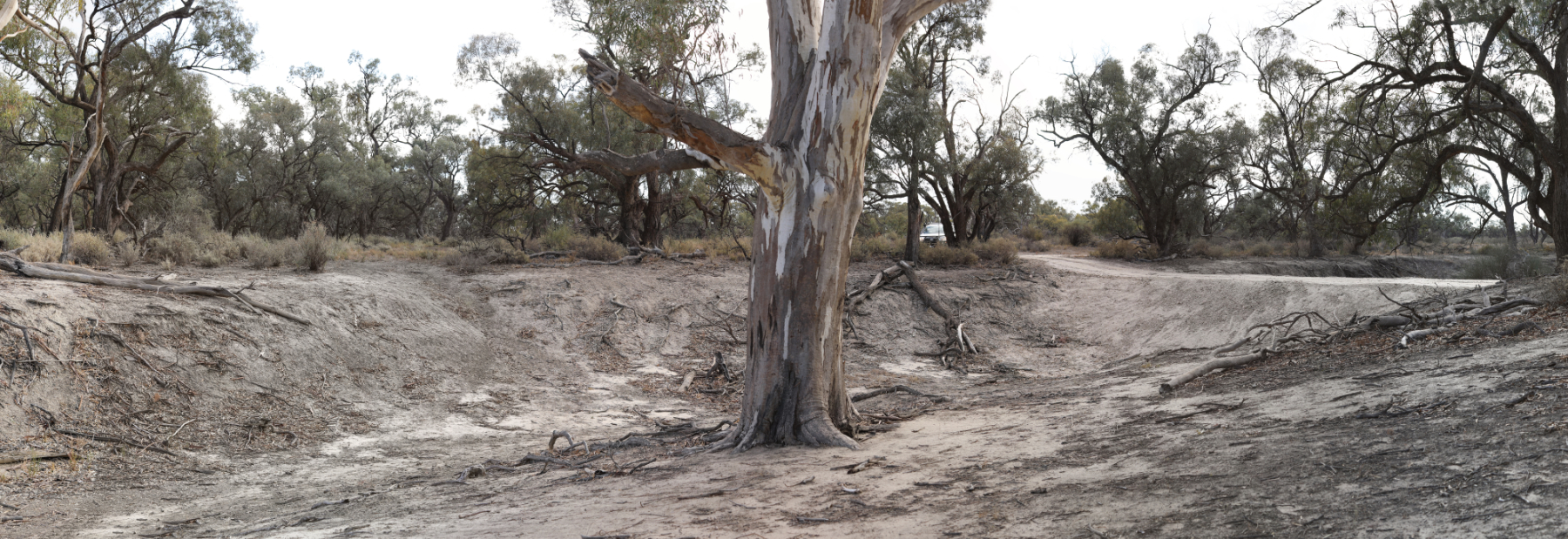
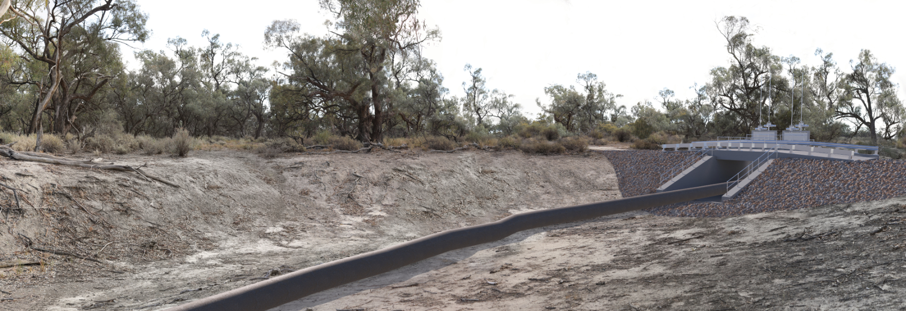
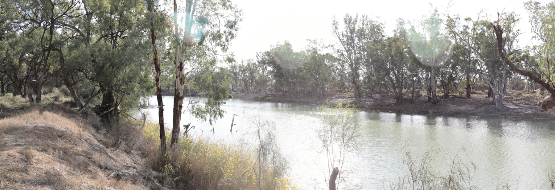
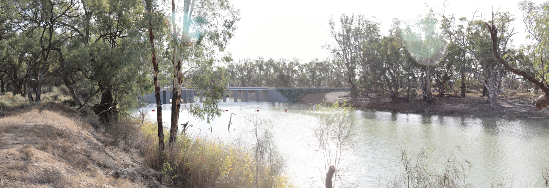
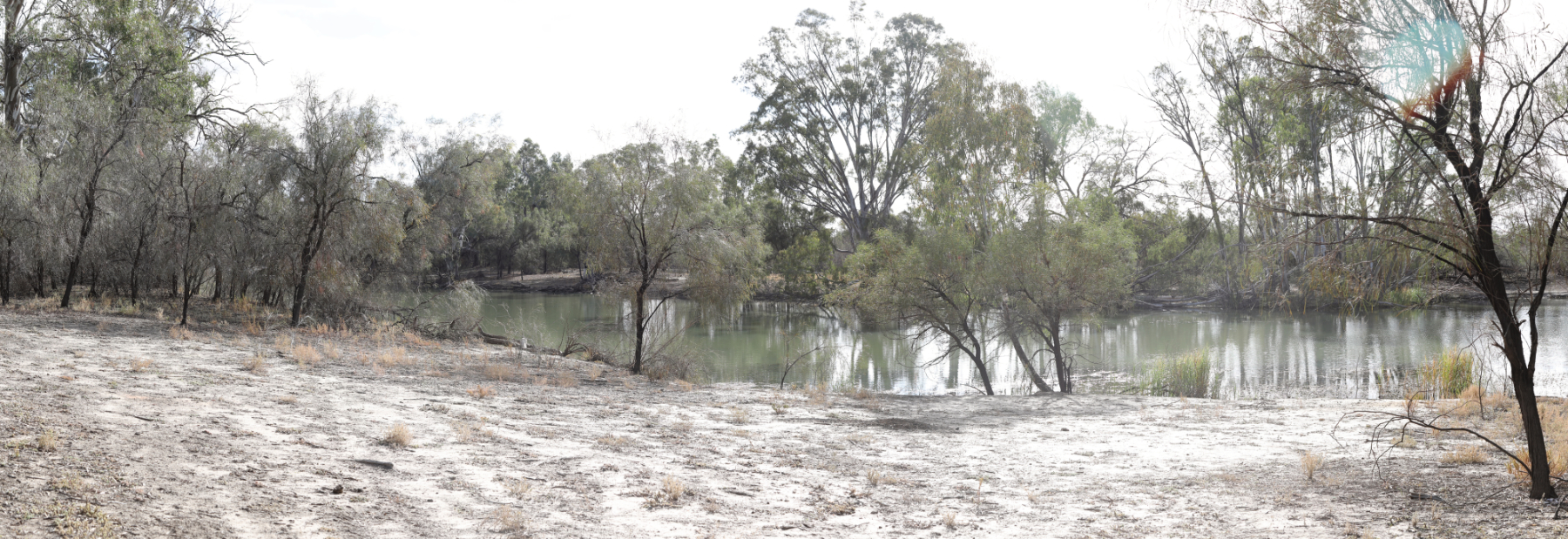
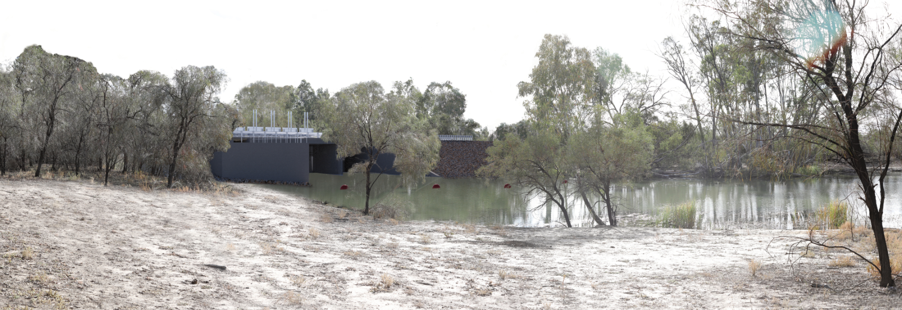
Selected photomontages produced across all nine project sites for the planning approvals process.
Burra Creek — Regulator
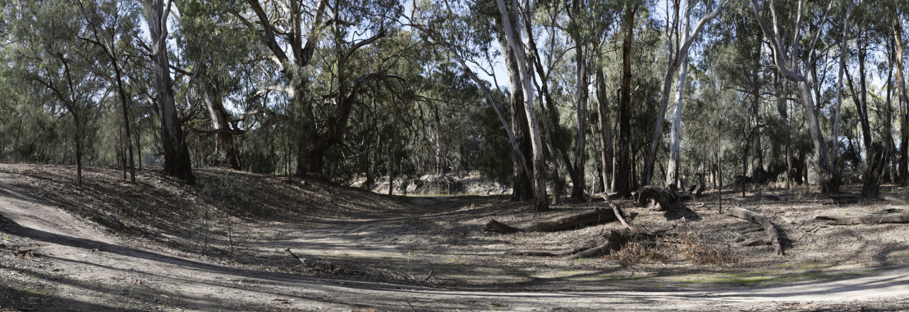
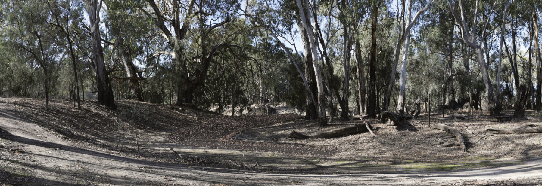
Landscape Visual Impact Assessment
Project Overview
The Victorian Murray Floodplain Restoration Project (VMFRP) comprises 14,000 hectares of revived high-value wetlands and flood-dependent forests. The project will enable land and water managers to safely deliver environmental water to nine distinct locations along the Murray River, completing a critical landscape-scale intervention under the Murray-Darling Basin Plan obligations.
The targeted watering infrastructure will accommodate managed seasonal flood events, mimicking natural conditions while using significantly less water to support thousands of native trees, waterbirds, and threatened species.
Construction of Victoria's largest coordinated environmental improvement program will involve removing historic flow blockages and building discrete, landscape-blending infrastructure. The current master design across the nine sites features multiple large and small regulators — including the major Berribee Regulator — plus kilometres of low-profile containment banks, concrete drop structures, specialised fishways, pump hardstands, and extensive access track upgrades.
Stakeholder Engagement Imagery
Selected photomontages produced across all nine project sites for the planning approvals process.
Stakeholder Engagement Imagery
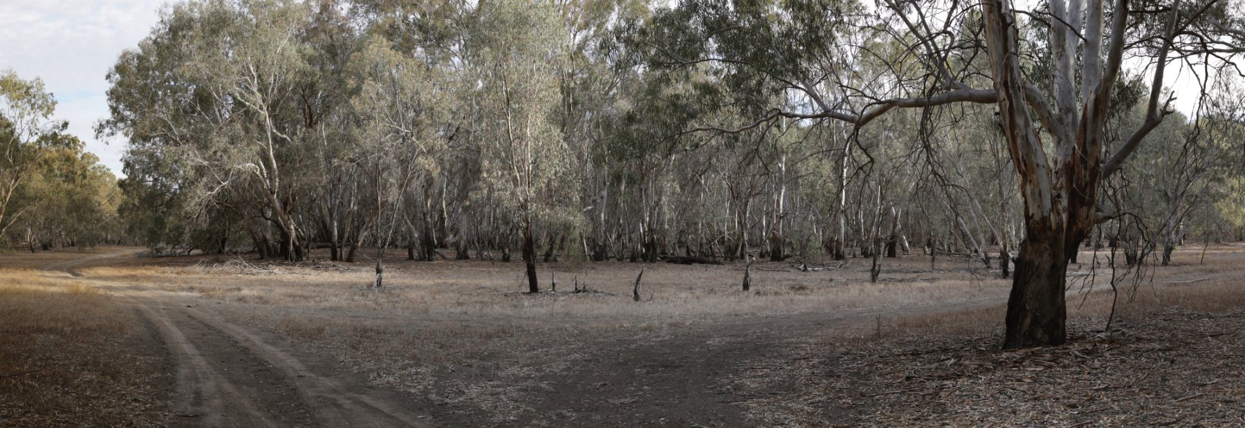
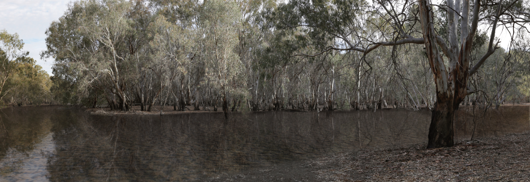
Stakeholder Engagement Imagery
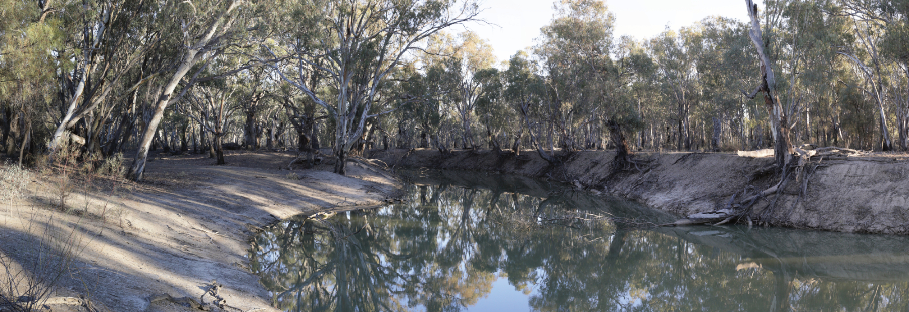
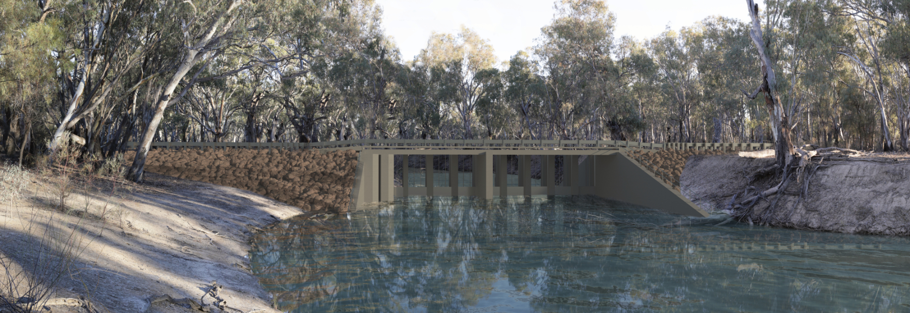
Stakeholder Engagement Imagery
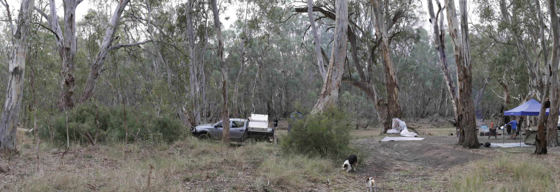
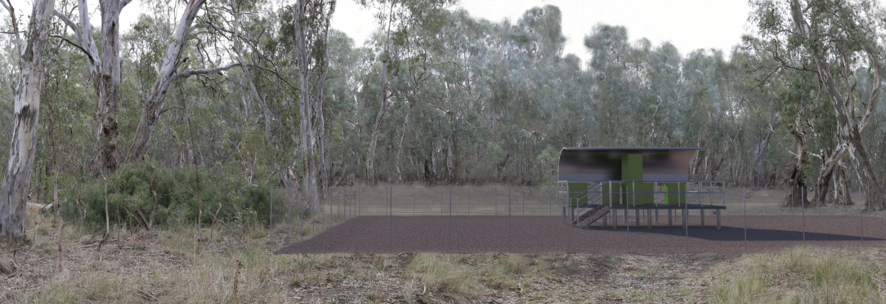
Stakeholder Engagement Imagery
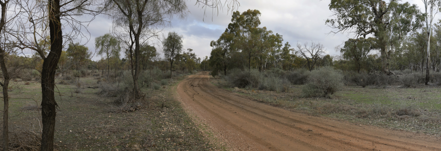
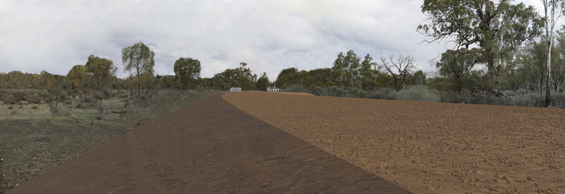
Client Engagement Journey
Client engagement was initially scoped for Photomontages to support the approvals process across all nine sites.
After viewpoint review, several key elements were identified across the project areas requiring visual treatment.
Field photography was taken across identified viewpoints, following Victorian guidelines for Photomontage.
Client provided a mixture of 2D and 3D CAD project data — the project was in a state of constant flux throughout delivery.
Managed costing, data processing and delivery across the team as scope and design continued to evolve throughout the engagement.
Sourced terrain and aerial data using DEM data from ELVIS. Developed a full terrain 3D model and integrated the design models across multiple sites.
Worked closely with the client to help explain their own design to them — the 3D model provided clarity that the 2D drawings alone could not.
Generated the selected photomontages for the approvals process across the nine sites.
Re-engaged after delivery to discuss further options with the model. Client requested a full fly-through video matching the style of previous visualisation deliverables.
Stakeholder Engagement Imagery
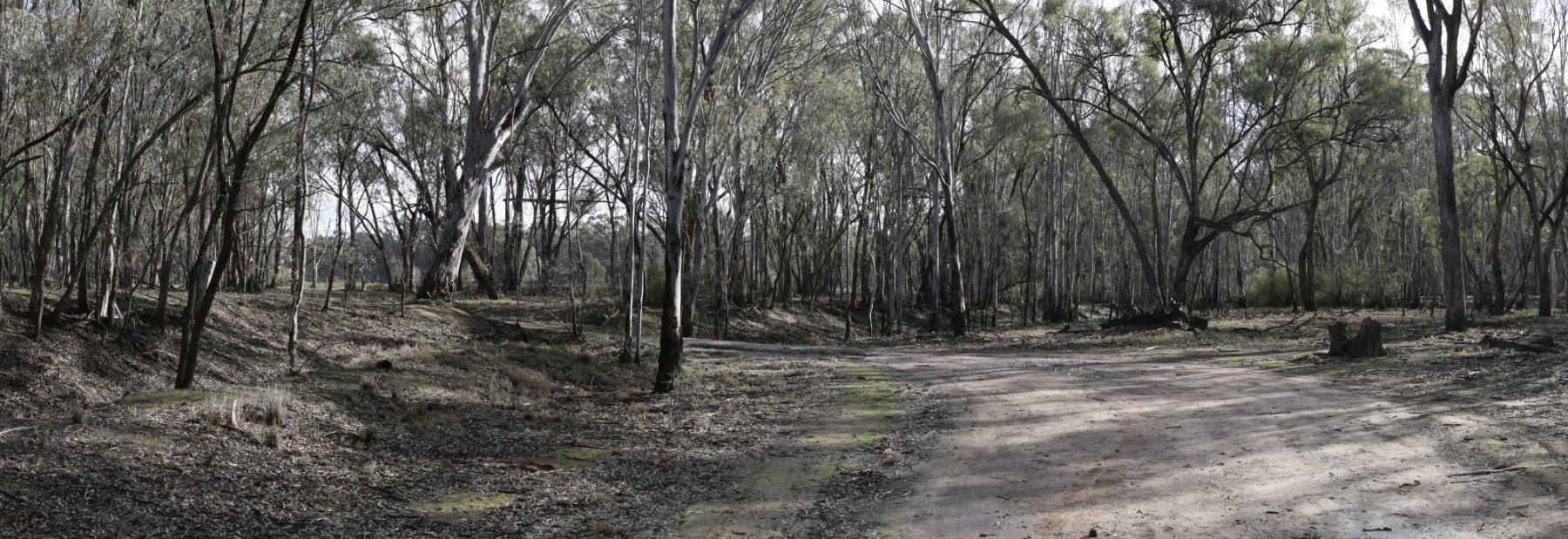
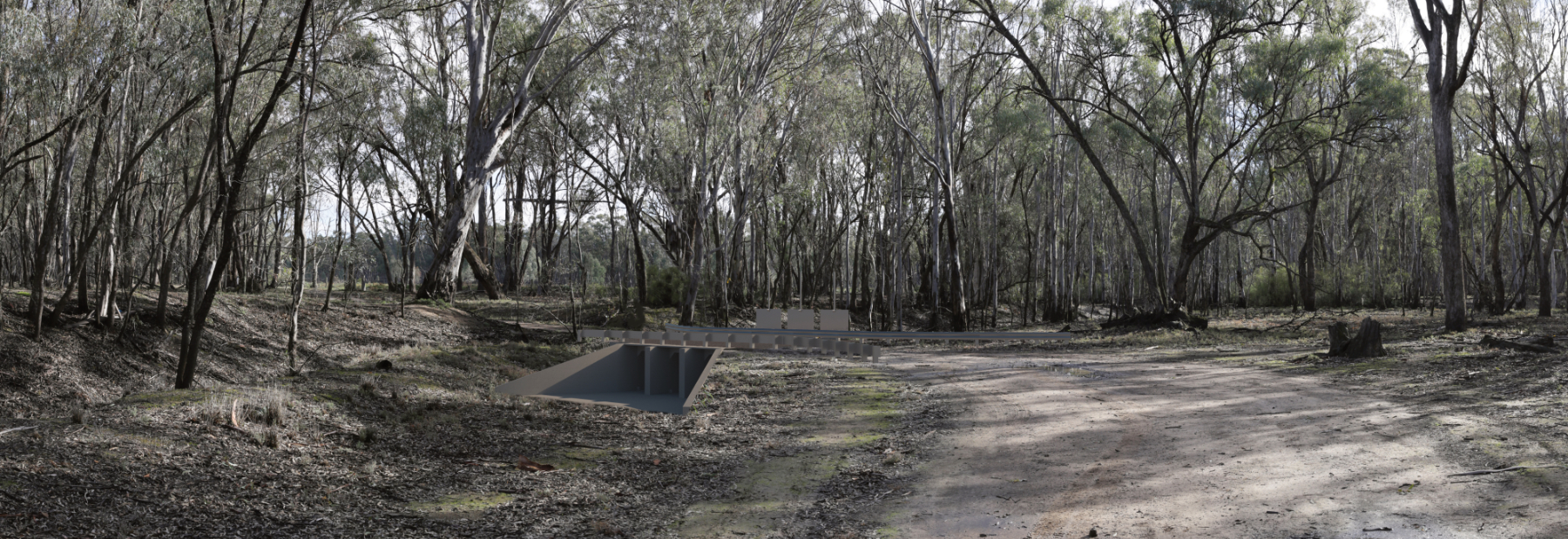
Stakeholder Engagement Imagery
Stakeholder Engagement Imagery
Stakeholder Engagement Imagery
Project in the Media
VMFRP
Latest News — Victorian Murray Floodplain Restoration Project
VMFRP
Media Releases
Parks Victoria
Victorian Murray Floodplain Restoration Project — Parks Victoria
ABC News
Murray River flood plain court case — Federal Government EJA
Planning Panels Victoria
VMFRP Standing Inquiry and Advisory Committee