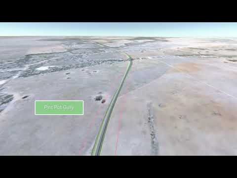
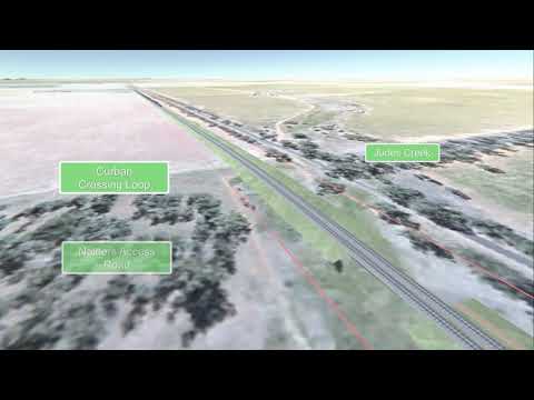
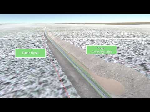
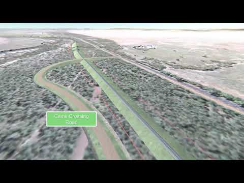
Public Fly-Through Videos
VISUALISATION SERIES
A 25-minute fly-through series produced to communicate the full N2N corridor to the public and stakeholders — matching the visual style of previous ARTC visualisation deliverables.
Photomontage & Visualisation
Project Overview
The Narromine to Narrabri (N2N) project comprises 306km of new rail corridor and track. The project will enable trains to connect with other sections of Inland Rail to the north and south, completing one of the missing rail links along the supply chain route. The line will accommodate double-stacked freight trains up to 1,800m long and 6.5m high, travelling at speeds of up to 115km/hr.
Construction of Inland Rail's longest stretch of new rail corridor will involve millions of cubic metres of earthworks for new embankments, the installation of thousands of culverts, road realignments and utility relocations. The current design features 49 new public level crossings, 75 new bridges and viaducts and seven crossing loops, each up to 2.2km long.
Public Fly-Through Videos
A 25-minute fly-through series produced to communicate the full N2N corridor to the public and stakeholders — matching the visual style of previous ARTC visualisation deliverables.
Landscape Visual Impact Assessment
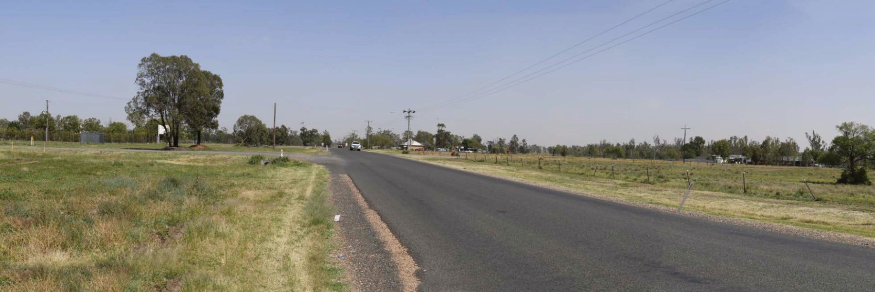
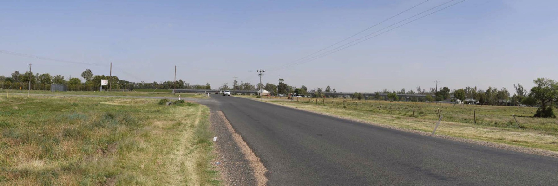
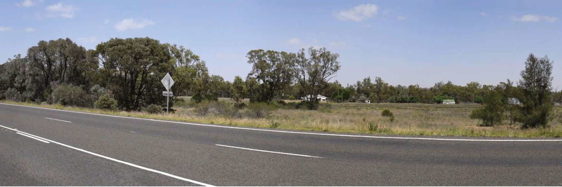
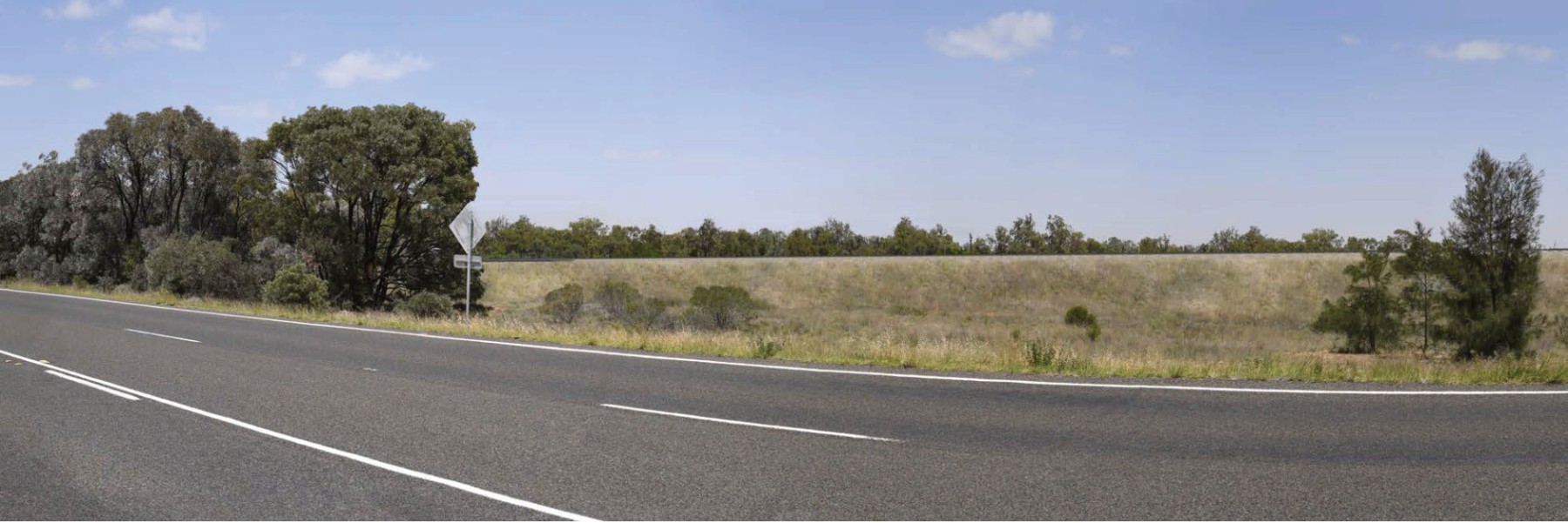
Selected photomontages produced for the planning approvals process — comparing the existing landscape against the proposed rail infrastructure using field photography taken to NSW photomontage guidelines (2020).
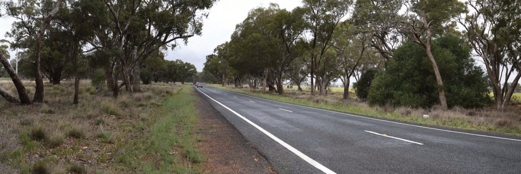
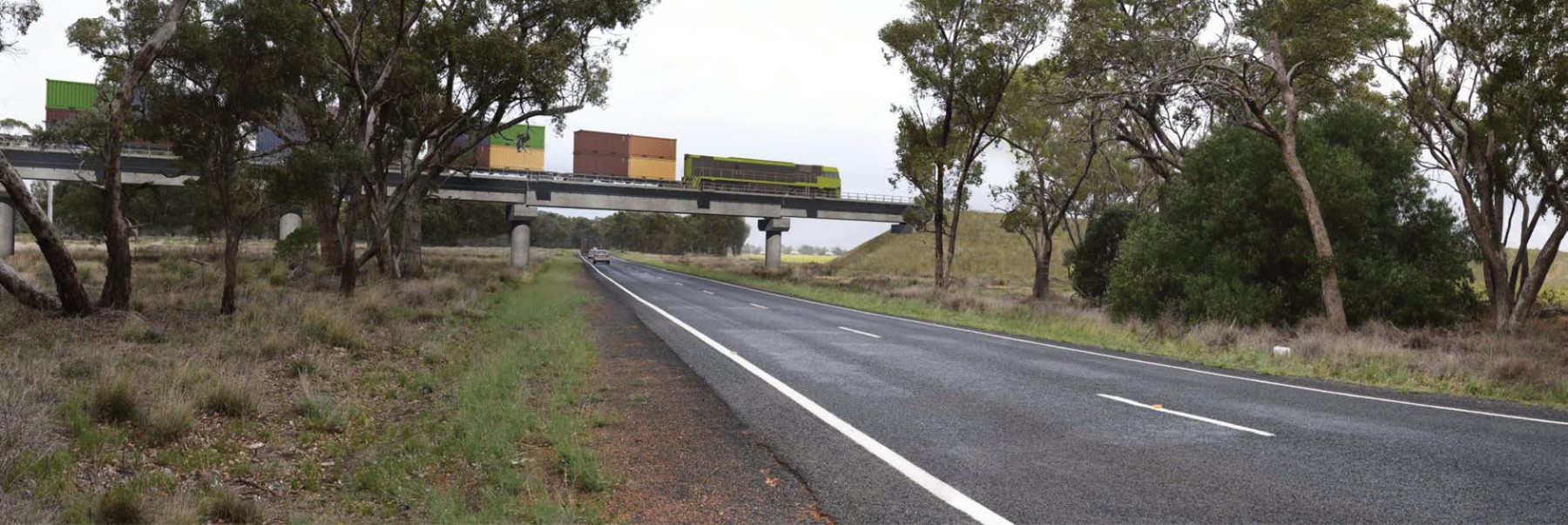
Landscape Visual Impact Assessment
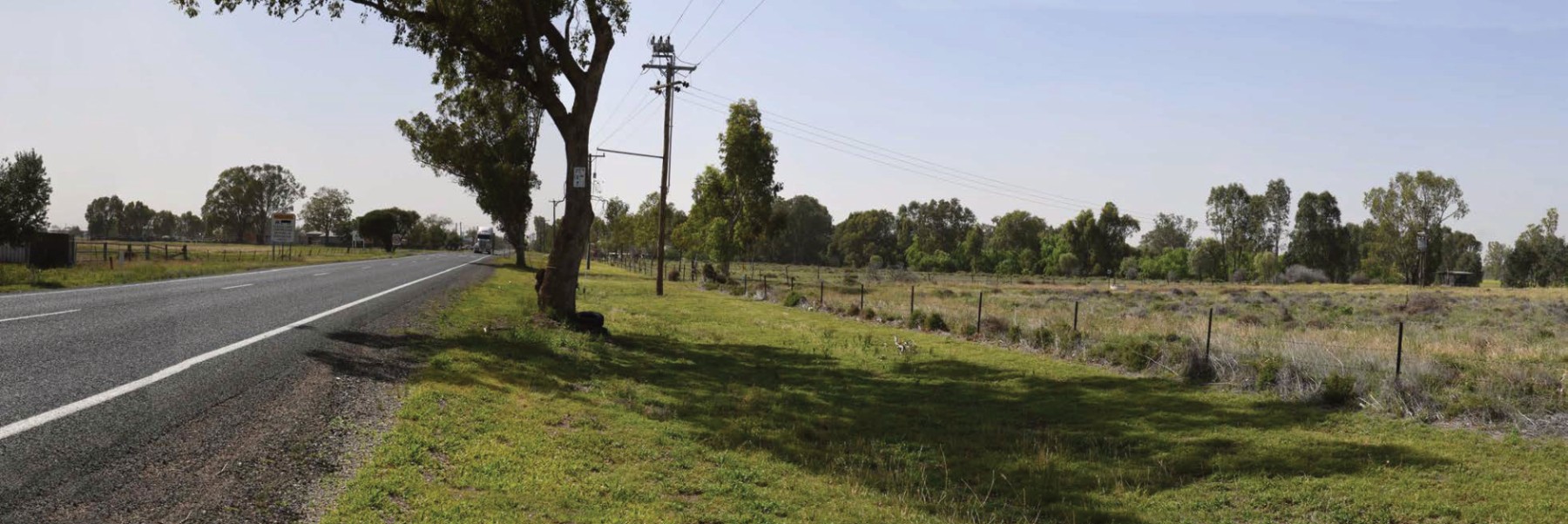
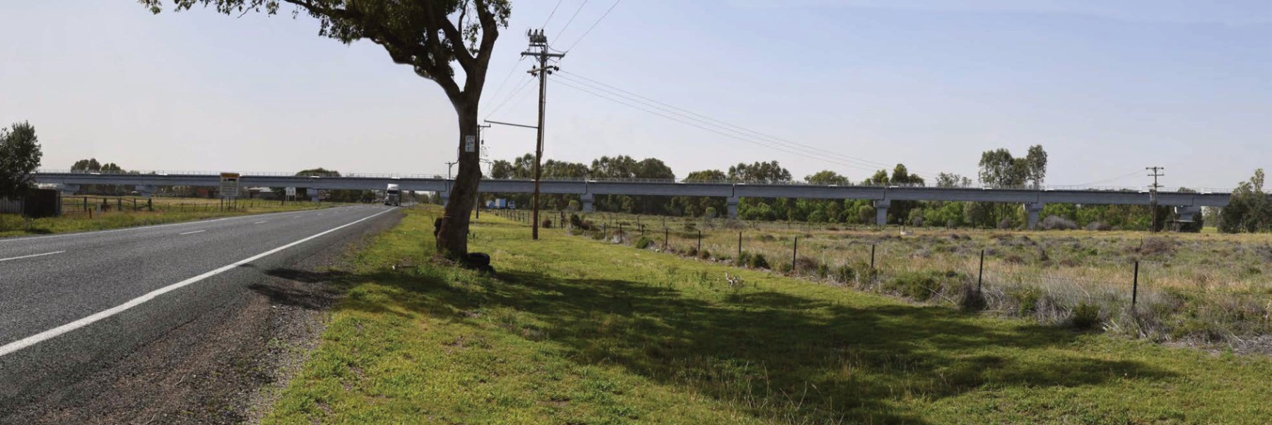
Landscape Visual Impact Assessment
Landscape Visual Impact Assessment
Client Engagement Journey
Client engagement was initially scoped for Photomontages to support the planning approvals process.
After viewpoint review, several key elements were identified across the 306km corridor requiring visual treatment.
Field photography was taken across identified viewpoints, following the NSW Guidelines for Photomontage (2020).
Client provided a 3D CAD layout of the project. Terrain and aerial data were sourced using DEM data from ELVIS to build an accurate real-world terrain model.
Developed a full terrain 3D model and integrated the client's design model to accurately represent the proposed infrastructure in its landscape setting.
Worked closely with the client to refine key viewpoints and produced the selected photomontages for the planning approvals process.
Re-engaged with the client post-delivery to explain the 3D model that had been built and discuss its potential for further use.
Discussed options — client requested a full fly-through video of the corridor matching the visual style of previous ARTC deliverables.
Managed costing, data processing and delivery of a 25-minute fly-through series — coordinating the team across data, modelling, animation and final output.
Project in the Media